Bellagio Trekking 3
Guggiate – Brogno – Rovenza – S. Primo Park – Bocchetta di Terrabiotta
Technical information
Description
Follow the provincial lakeside road for Como from the village of Bellagio for one and a half kilometres (you can also take the bus) until you come to the hamlet of Guggiate where Route 1 begins.
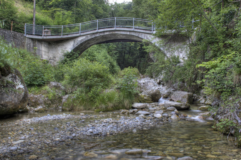
From the little square in front of the Church of Sant’ Andrea in Guggiate take via Ciceri, to the right of the striking portal of Villa Ciceri. This crosses the hamlet until it passes the Perlo stream (to the left are the remains of trout breeding farms and an old spinning mill). After the bridge, take the steps up to cross over an asphalt road, turn left and continue walking uphill to pass the helicopter rescue pad and the farmstead that overlooks the pastures and orchards of Cagnanica. The road ends and a mule track starts to ascend, bordered by low, ivy-covered walls.
At the end of the uphill stretch, turn left towards Perlo (the detour to the right leads to the hamlet of Vergonese after a 15 minute walk – trail sign 15). After about 200 metres turn right onto the uphill mule track which passes the last small villas and a farmstead and, after a few sharp turns in a dense chestnut wood, arrives in the area of Begola, with two farmsteads on grassy level ground. The trail now widens into an unpaved route, which ascends gently between woods and pastures until it borders the grounds of Villa Mariani and comes to the area of Brogno .
The route continues, following trail sign 1, deviating to the right between the houses towards Rovenza where you ascend along a cart track.
At the end of the uphill, you emerge in a clearing with an isolated little chapel (on the right starts trail 1A, which will take you to Paum through the wood, along the old mule track), then continue straight along the unpaved road between clearings and terraced meadows until you come to the village of Rovenza.
Now begins an asphalt road to the right, which leads uphill for around 2.5 kilometres to the area of Paum. Go through the gate and continue along the trail that goes uphill through a beech wood, until you emerge in the pastures of Alpe delle Ville. After having crossed the meadows the trail comes to a gate and an unpaved road. Turn left, passing the old Bonomelli building and continue on the flat until you reach the asphalt road and the car parks of the Mount S. Primo park .Here veer right (trail sign 1) to follow the asphalt road that leads to the Alpe del Borgo.When you reach the alp, continue to follow the trail uphill to the right through the pasture, behind the building, until you come to a small unpaved road towards the right that enters a beech wood. In a few minutes you will reach a saddleback,where you can also make a detour to the left and walk 10 minutes uphill to Monte Forcella.
From this saddleback, go right uphill along a trail through the meadows along the crest. When the meadow ends you can choose whether to follow the trail diagonally between the lake shore and the hilltop through an alder wood that has grown on an old ski slope and that leads to the bocchetta di Terrabiotta, or continue towards the peak of Monte Ponciv (1453 m above sea level), where there is a building with an antenna.
Photogallery
Contacts and How to get there
Tel. +39.031.951.555
Request information
| No spam | Direct contact |